10 Toughest Hiking Trails To Conquer in Malaysia
Malaysia is not just a good tourist destination with ample famous tourist attractions. There are also plenty of outdoor activities here that will make anyone appreciate the beauty of nature.
In fact, Malaysians and foreign tourists love hiking in Malaysia because of the numerous good hiking trails in the country, whether they are in the jungles, waterfalls, hills, or mountains.
But, not all of these trails are for beginners or first-time hikers as some of them are challenging.
We made a helpful guide to aid you in deciding on a trail to conquer and to keep your hike safe, so read on if you are feeling adventurous.
How to Determine the Difficulty of a Trail
Day hikers and backpackers alike always ask and research how hard a trail could be when looking for a hiking trail.
While there is no one standard measurement that determines the difficulty of the trail, there are so-called “hard measures” that are composed of statistics that hikers use as reference points. Some of these factors are:
- Distance or trail length
- Total elevation gain and loss, or the cumulative distance to walk uphill and downhill
- Actual elevations on the hike, as thin air at high elevations will slow a hiker’s pace, intensify dehydration, and cause fatigue and symptoms like headache
- Roughness of the terrain
- Steepness and distance of ascent and descent
The level of difficulty of the trails could be determined as follows:
10 Hardest Hiking Trails in Malaysia
We looked for and compiled 10 of the hardest hiking trails in Malaysia to help you choose where you can go on your next thrilling adventure.
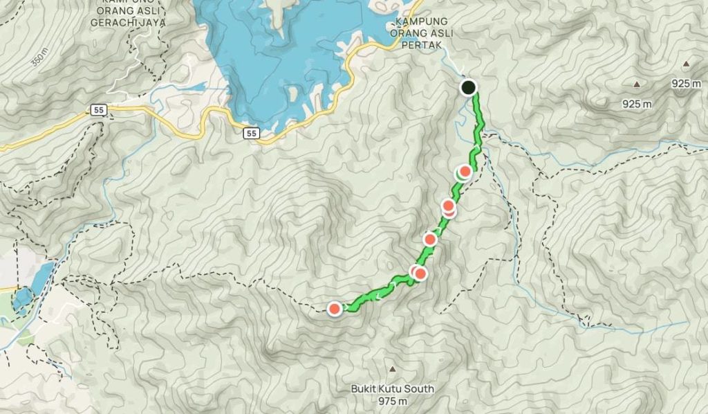
Bukit Kutu
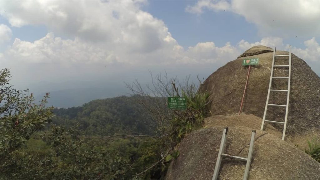
One of the well-known hiking trails in Malaysia is Bukit Kutu, which provides a beautiful panoramic view of the valleys, Titiwangsa’s mountain range, Kuala Kubu Bharu dam, and clouds. Also known as Teacher’s Hill, it is also a famous location for camping and birding.
The hike to the peak takes about four hours to reach, but it requires a good physical level of fitness because of the steep climbs that are challenging.
Beware of the huge boulders that you need to climb. It will also be hard to go through the forest full of bamboo trees that grow in different directions so you would need to duck to avoid them.
Mount Santubong
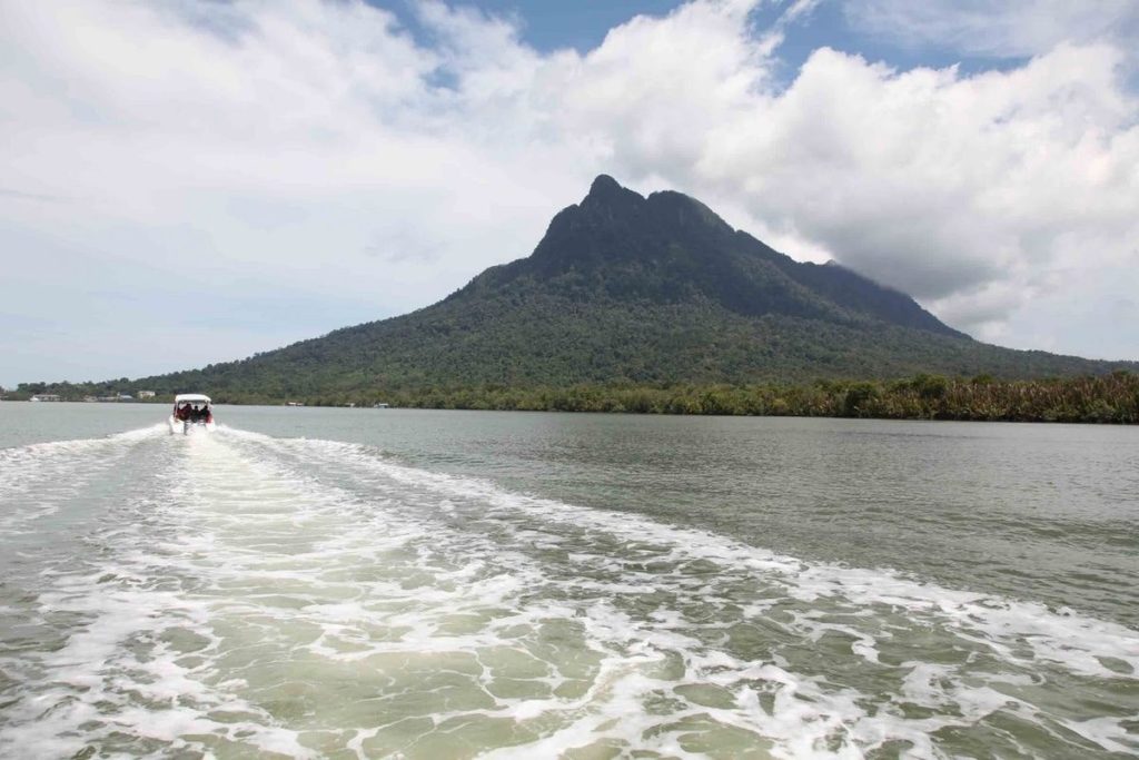
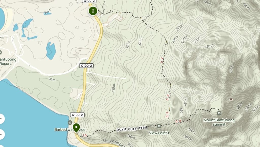
The most frequently climbed mountain in Sarawak, Mount Santubong is only 810 meters but do not be fooled by how small it is.
It is one of the most challenging trails in Malaysia because of the number of tree roots you will encounter and some parts of the trail are very steep.
Additionally, there is a need to go rock climbing at the end of the route. Keep an eye on poisonous snakes during your hike.
Despite the difficulty of this hike, reaching the waterfall during the hike is very rewarding. You can also rest here during the hike and even hold a picnic.
Bukit Tabur
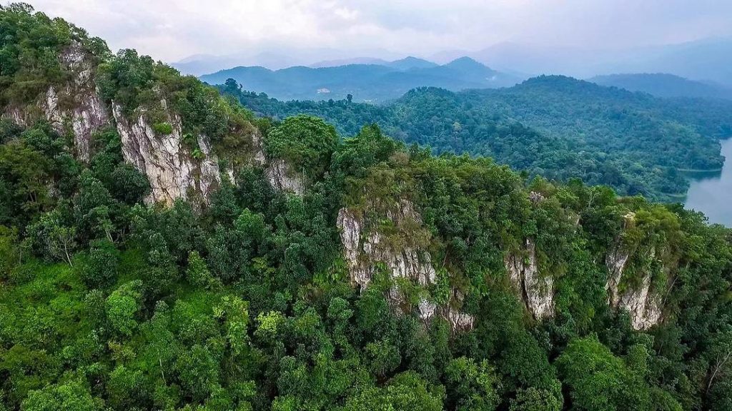
Bukit Tabur, also called The Dragon’s Backbone, is a less explored hiking destination in Malaysia but it is a gem that every hiker should be able to explore. This limestone ridge has five peaks that are perfect for experienced hikers because of the intense boulder crossing.
The trail is tricky so it could be a bit confusing so you might want to have a guide. Here, you will be exposed to rock climbing because of different rock sizes.
Hikers commonly use the West Trail, however, you might want to consider trying the East and Far East Trails which are more advanced and on rocky terrain. These have a more picturesque view but it is obscured by thick forests. The Extreme Trail is on softer grounds but it has unstable flooring because of loose rocks.
Mount Berembun
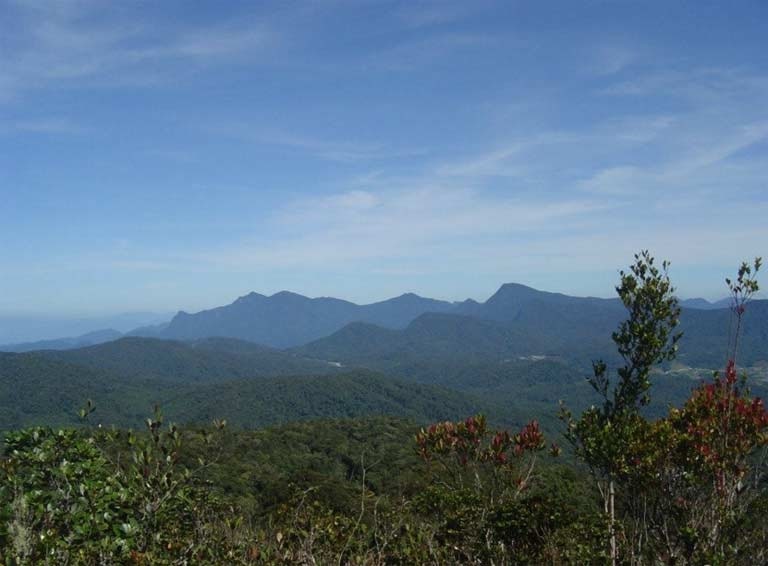
If you want to hike with a fantastic view, Mount Berembun is the place to go because it is located in the Cameron Highlands, the largest hill station in Malaysia that has amazing scenery.
It is also the third-highest mountain here and perhaps the most interesting among the 14 hiking trails in Cameron Highlands.
Mount Berembun is quite a famous trail but it requires watchful and experienced hikers because it is steep and the large tree roots along the trail. The area is also not much-developed, which makes it one of the hardest trails to hike in the Cameron Highlands.
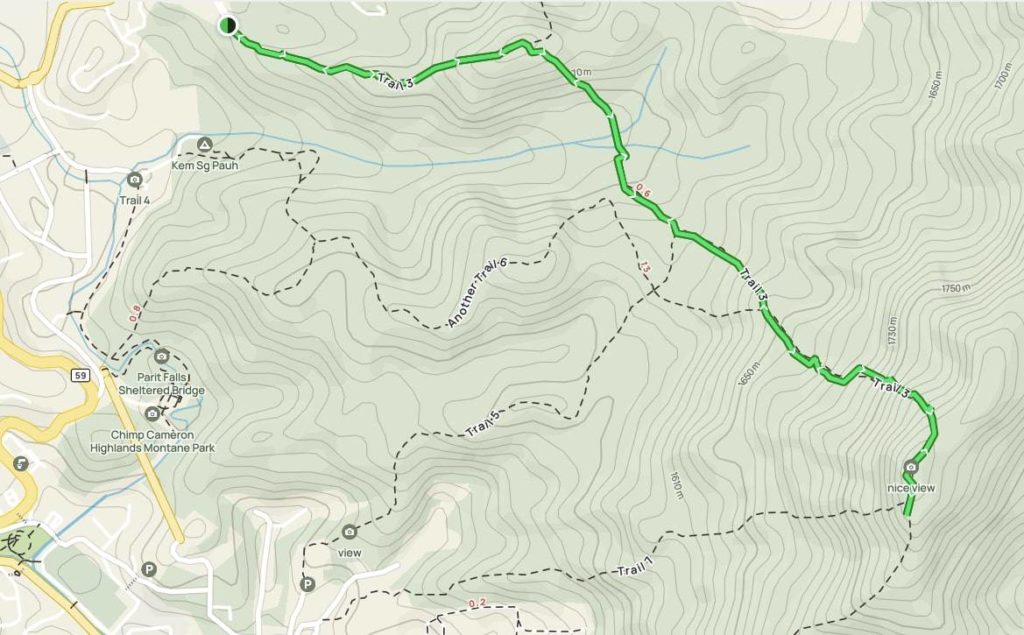
Gunung Nuang
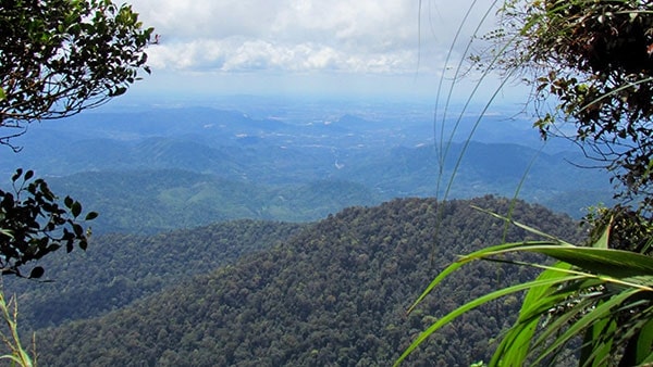
Gunung Nuang is considered one of the toughest trails in Malaysia and one of the tallest peaks in Selangor.
It leads to a dense rainforest, bamboo groves, and a waterfall. It even requires river crossing and boulder climbing.
It has a trail so-called the “never-ending-winding-road” and it is a strenuous and tedious trek because it is technical. The ground is also not flat and not for the faint of heart, so it requires prior hiking experience and a high fitness level.
Some hikers take a whole day to complete this trail while some choose to stay overnight and finish it in two days. There are shelters and campsites along the trail where hikers can rest and stay overnight.
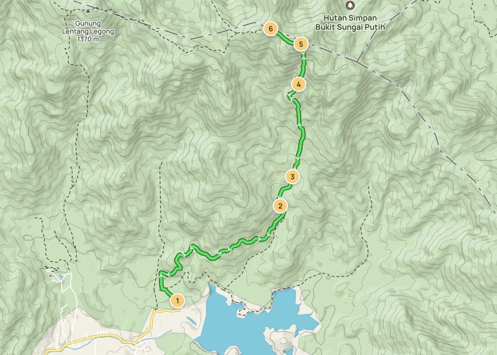
Gunung Korbu
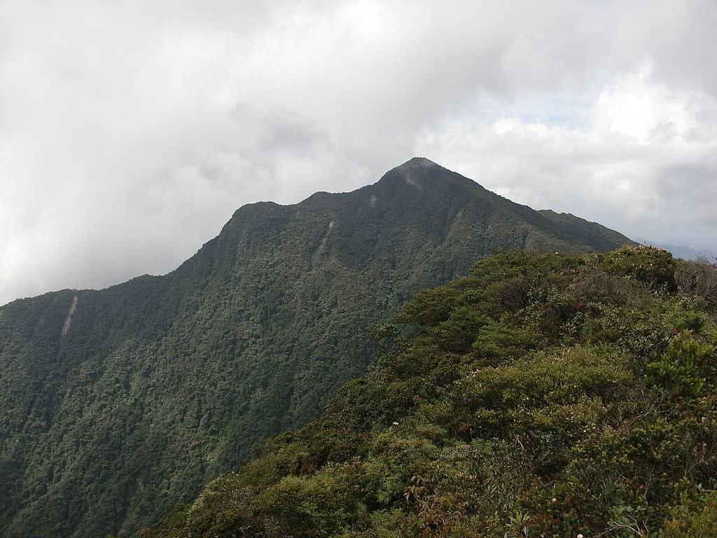
Gunung Korbu is the second tallest peak in Malaysia and it is a popular backpacking and camping trail.
This trail is challenging because of its killer steepness gradient. Finishing this hike is considered rare because of the challenging hurdles.
Experienced and fit hikers could finish this hike in 12 to 16 hours, while others may take three to four days.
If you want to go for a more extreme adventure, you can add Gayong Korbu to your itinerary. It is the fourth-highest peak in the country and another tough trail to conquer. Both mountains belong to the Titiwangsa Mountain Range so it is easy to access Gayong Korbu.
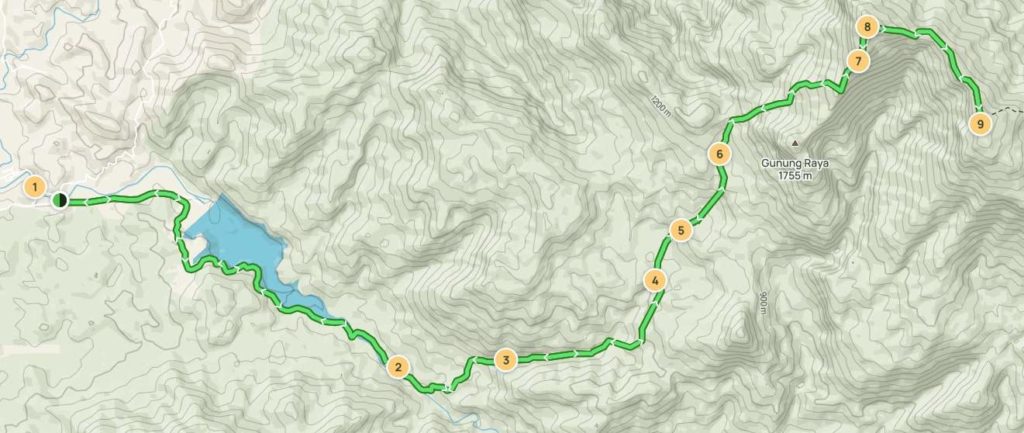
Gunung Yong Yap
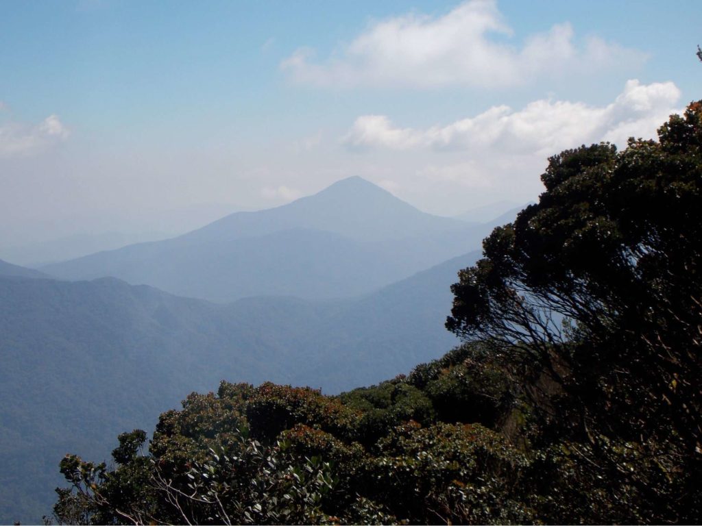
Gunung Yong Yap is the sixth tallest point in Peninsular Malaysia. It is located along the borders of Perak and Kelantan states, and it is also part of the Titiwangsa Mountain Range.
Most hikers finish this trail within two days and one night. However, most choose to extend it to three days because of how challenging it is. The trail in Gunung Yong Yap is tough because of bamboo trees and fallen tree trunks.
It may start on as welcoming but it will slowly become a farmland trail and then convert to a jungle trail as you go further. Additionally, you will have to cross rivers before you reach the peak.
Because of the shape of this mountain, it has an extremely steep slope which is why it is considered one of the hardest trails in the country. It is not recommended for beginners or those who are inexperienced in hiking in rainforests.
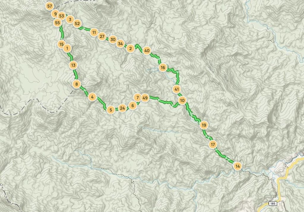
The Pinnacles
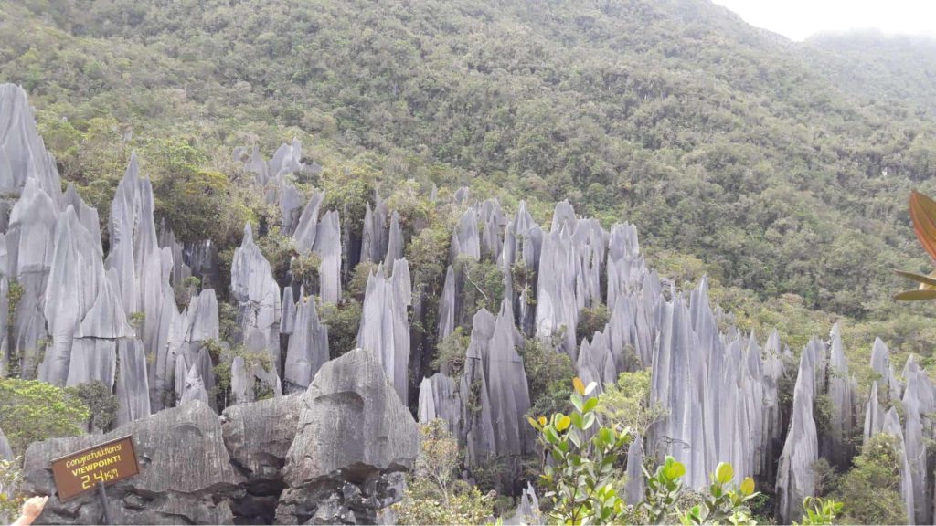
Mulu National Park has some amazing and fun hiking trails that you could do for an exciting adventure. If you are seeking an extreme hike, you should consider going to The Pinnacles at the Mulu National Park.
It is a top-recommended trail among hikers because of its gorgeous peak. You should see for yourself the graying limestones.
This hiking trail is especially for experienced hikers because it is steep and dangerous, as well as the rock climbing involved. If you are not careful, the sharp limestones may cause you deep cuts.
Because of the high risk involved, it is not recommended for those under 16 years old.
Mount Kinabalu
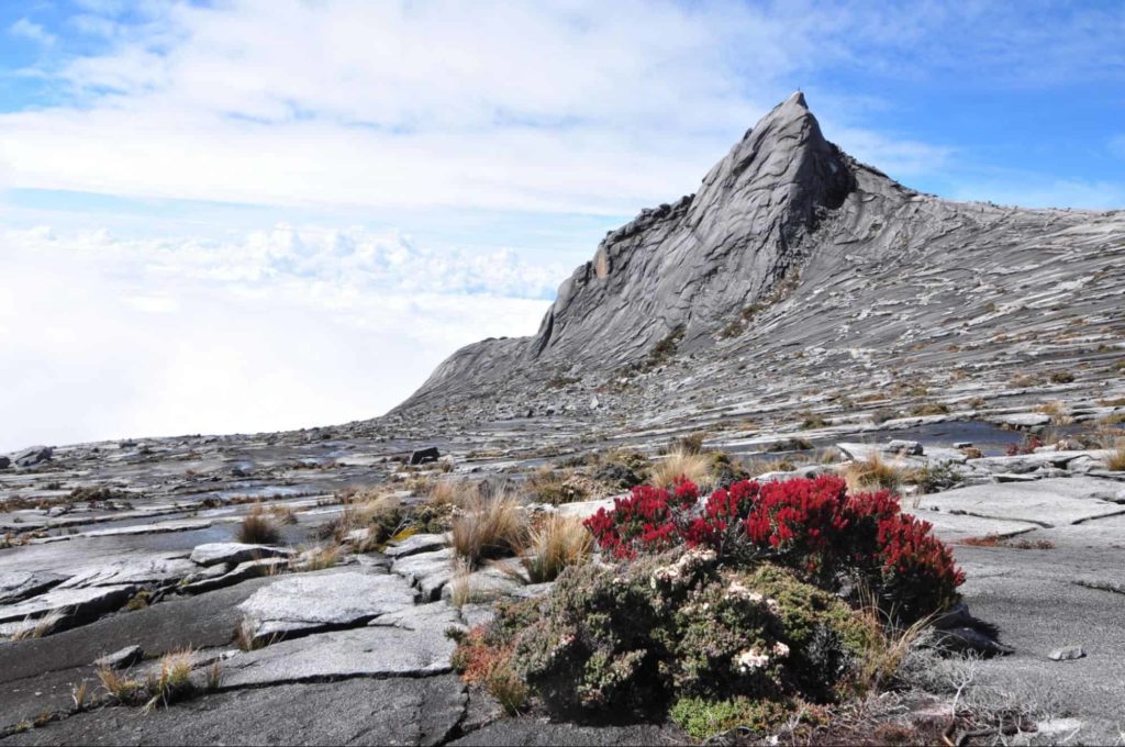
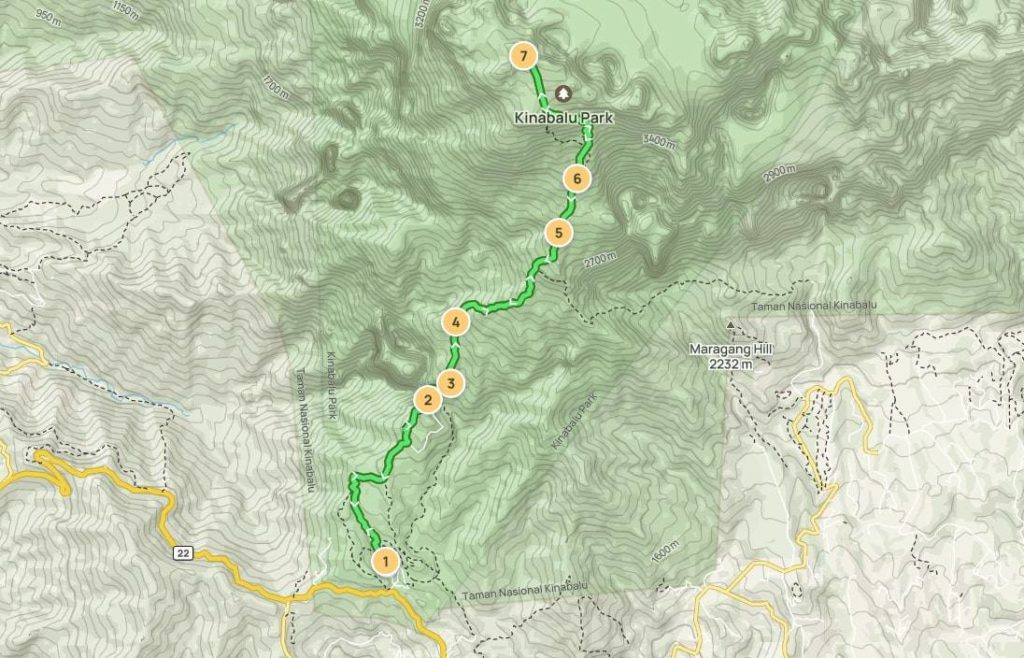
Climbing Mount Kinabalu would be a great adventure for hiking enthusiasts because they would be able to explore the beauty of Sabah. This is the highest mountain in Malaysia and it is often at the top of the list of must-climb trails in the country.
However, this hiking trail is not an easy feat. It is one of the toughest trails to hike and it will take two days and one night to complete the trail.
Do not expect a flat surface during your hike and be careful on steep slopes in the dark. As a matter of fact, hikers should be accompanied by a local guide when they climb Mount Kinabalu and they should secure a permit.
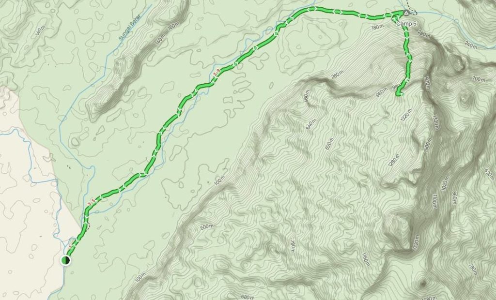
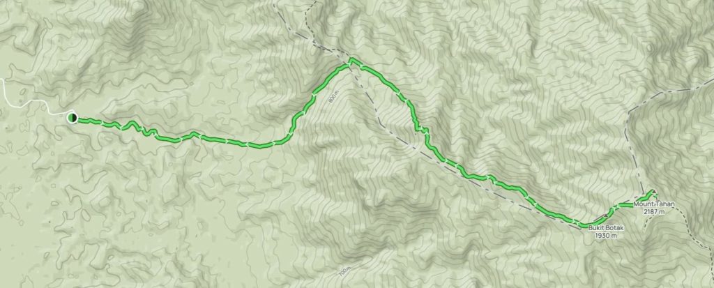
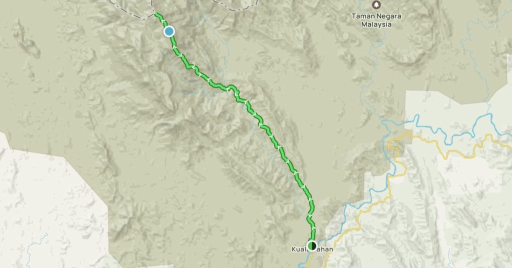
Gunung Tahan
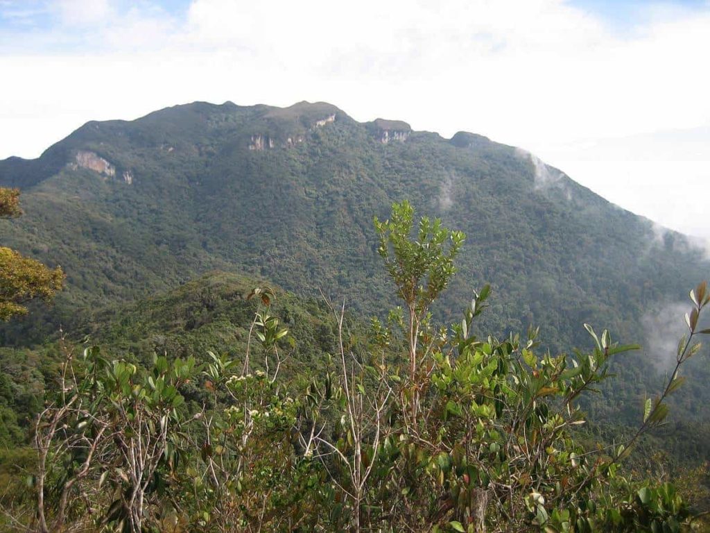
Gunung Tahan is the toughest trail to conquer and endure in Malaysia but it is also a favorite hiking spot for hikers because it is an experience of a lifetime.
This hiking trail is for experienced hikers who are both physically and mentally fit due to the endurance that it requires. In fact, hikers may be required to have medical and fitness certificates prior to the hike.
Prepare yourself to camp for a few nights, long hiking distance trekking through thick foliage, and river crossing in the rainforest.
However, it is a scenic trail because it is located in the Taman Negara National Forest, a trove of exquisite flora and fauna.
Safety Tips When Hiking on Hard Trails
Before you start your hike to the hardest hiking trails in Malaysia, you should know important hiking tips in Malaysia to keep your adventure safe.
Some of these safety tips that you should keep in mind are:
- Before starting your hike, prepare yourself physically and mentally.
- Register with headquarters or local authorities before you start the climb.
- Keep yourself hydrated during the entire hike and bring enough food. Pack a reusable container and water filter or purifying tablets.
- Prepare for Malaysia’s unpredictable weather. It is mostly hot and humid, but you might encounter rain during the hike.
- Wear comfortable and lightweight clothing and footwear. Your shoes should not slip on the muddy ground.
- Respect nature and observe hiking etiquette.
- Hike with a group and with a local guide.
- Use offline GPS applications on your phone during a day hike and a weatherproof GPS device for a multi-day hike.
- Always bring and use mosquito repellent when hiking in Malaysia.
- Secure permits and travel insurance ahead of your hike.
FAQs about the Hardest Hiking Trails in Malaysia
If you want to find out more about where you can hike in Malaysia, you can check out our other top picks of hiking trails:
- Hiking Trails You Can Try In and Near Kuala Lumpur
- XX Easiest Trails to Try in Malaysia for First-Time Hikers
- What You Need to Know When Waterfall Hiking in Selangor
